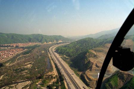
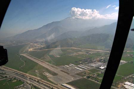
We departed Torrance, California at 10:30am. The "Eastern Empire" east of Torrance had been filled with fog, so we purposely had goofed off, wasting time to allow the fog to burn off. Departing Torrance, you pick up the Riverside Parkway and follow it toward El Toro. We passed just north of Disneyland, and I was hoping to get a picture, but the visibility was too poor. A combination of smog and fog. Here's a picture just north of El Toro:
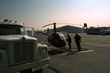
We decided to stop at Riverside for fuel, because the owner had given a friend a ride while we waited for the fog to lift, and so we were already about 0.8 hours into a tank of gas. Normally, a Robinson R22 with just a single fuel tank holds 19.2 gallons. R22s typically burn about 7.5 gallons per hour, which we normally round up to 8 gallons per hour. This means you have 2 hours and 20 minutes of fuel on board when the tank is full. Since VFR fuel reserves require a 20 minute reserve, this gives you an effective range of 2 hours. You look pretty dopey running out of gas, so we were being conservative about our fuel stops. Good thing, too... It turned out that this particular helicopter burned as high as 9.5 gallons per hour on the trip East. If we had tried to stretch it, we probably would have run out of gas and been forced to land in the middle of nowhere! Anyway, here's a picture of us refueling at Riverside, California:
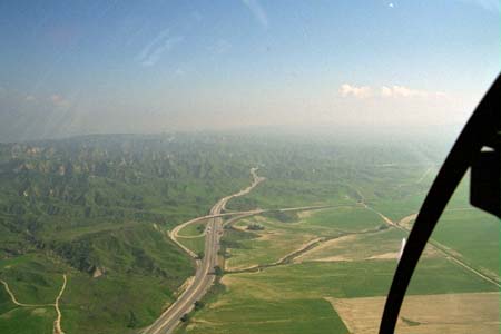
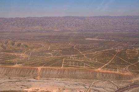
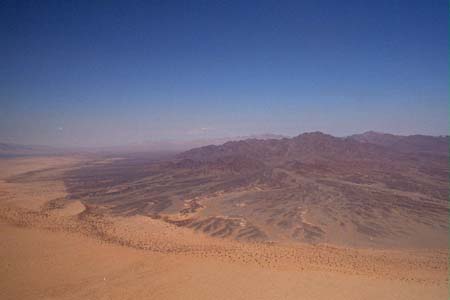
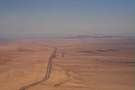
we were back in the air by 11:30. Since the helicopter can only go so high (14,000 feet in the case of the R22) we didn't want to go over the mountains, instead we planned on going through the Banning Pass. Here are a couple of pics of the terrain just before we went through the pass:

Right at the pass is Banning Airport, which we just flew past:
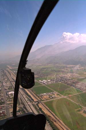
You can see how much lower we are than the top of the mountains in the upper picture. Keep in mind that although we could theoretically get high enough to get over that mountain, we'd have to deal with the turbulence you find above mountains, and we'd be flying at almost the limit of the helicopter. Dealing with downdrafts would be no fun at all... Going through the Banning Pass, we didn't get much higher than 3,000 feet.
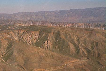
As we went through the pass, we saw this windfarm made up of hundreds of windmills:
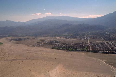
Just on the far side of the pass, we flew past Palm Springs. It's hard to see in this picture, but Palm Springs International Airport is right there, and they were departing airliners as we flew past, so we didn't get too close.
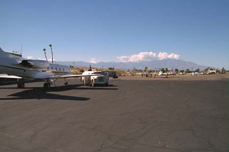
At 12:30, we landed at Bermuda Dunes Airport for fuel:
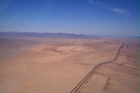
We were in the air again by 1:00, eastbound along Highway 55:
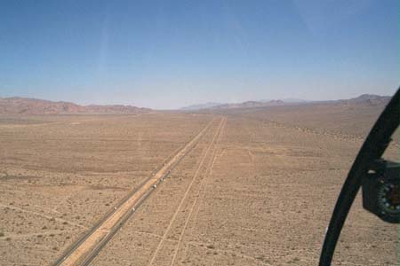
The visibility and terrain are pretty fantastic for someone used to flying on the East Coast where 5 miles in haze is common during the summer, and 30 miles visibility is a clear day. Here, we're probably seeing close to 100 miles. No doubt we could have seen much further if we had climbed to a higher altitude, but the helicopter was happy here about 1,000 feet above the ground.
Continue with second half of Day 1